Produktinformationen
1. Origins To 1700
2. The Eighteenth Century
3. The Nineteenth Century
4. 1900 To 1918
5. 1919 To 1945
6. 1946 To 2017
Index
List Of Maps And Illustrations
Image Credits
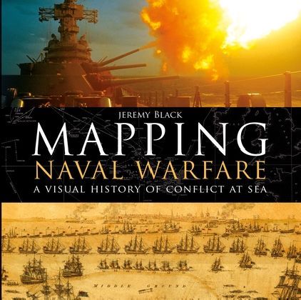
A visually stunning account of how naval conflict was recorded and planned, using contemporary mapping.
Naval operations and warfare were, and remain, a key element for mapping. Maps were vital for commanders in drawing up plans of attack, and their detail and usefulness have increased over the centuries as the science of mapping has developed.
This beautiful book examines stunning original maps from a series of key conflicts from the Spanish Armada, the American Wars of Independence, and the Napoleonic wars to twentieth century conflicts from the First World War to Vietnam, and explains how they were represented through mapping and how the maps produced helped naval commanders to plan their strategy.
Jeremy Black is Professor of History at the University of Exeter, UK, and a Senior Fellow at the Center for the Study of America and the West at the Foreign Policy Research Institute in Philadelphia, USA.
| Jahr | 2017 |
| Autor | Jeremy Black |
| Format | Hardcover |
| Sprache | Englisch |
| Gewicht (g) | 1592 |
| Breite (mm) | 286 |
| Höhe (mm) | 22 |
| Länge (mm) | 288 |
| Verlag | Bloomsbury Trade |